$ John Michael Swartz

Work Samples$ _

Ten images from the past five years

These ten images best represent the work I've done in landscape over the past 5 years. I assembled them as part of my first ever photography fellowship application, which I fully expect not to receive. However, the process was very satisfying, and I look forward to applying to more.

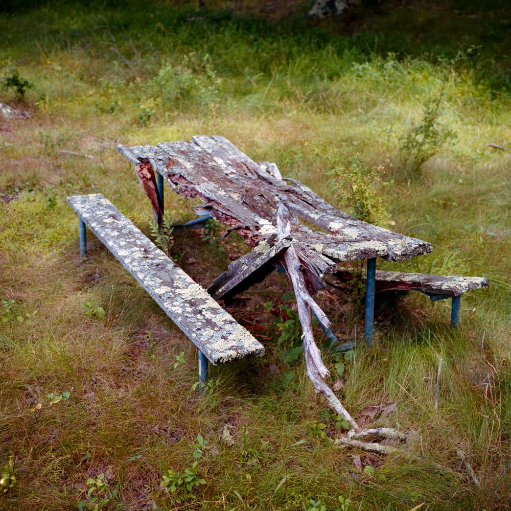
Lake Sebago Beach, Closed Since Hurricanes Irene and Sandy.
 Harriman State Park, NY.
 August 21, 2021.

Lake Sebago Beach, Closed Since Hurricanes Irene and Sandy. Harriman State Park, NY. August 21, 2021.

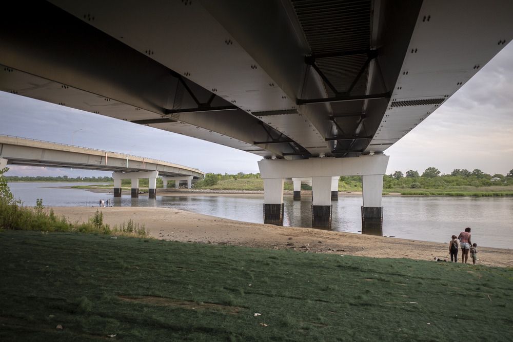
Looking West across Paerdegat Basin, below the Belt Parkway.
 Brooklyn, NY.
 July 24, 2020.

Looking West across Paerdegat Basin, below the Belt Parkway. Brooklyn, NY. July 24, 2020.

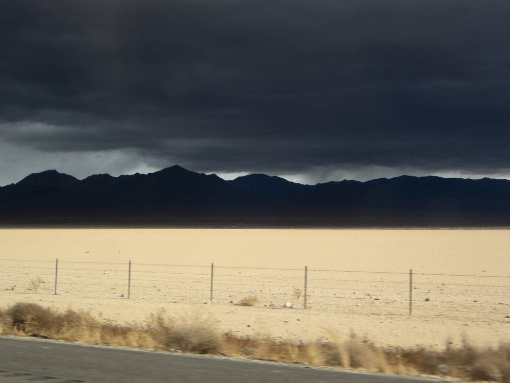
Looking South-East across Ivanpah Lake from Interstate 15.
 35°33'33.624" N 115°24'42" W.
 November 26, 2024.

Looking South-East across Ivanpah Lake from Interstate 15. 35°33'33.624" N 115°24'42" W. November 26, 2024.

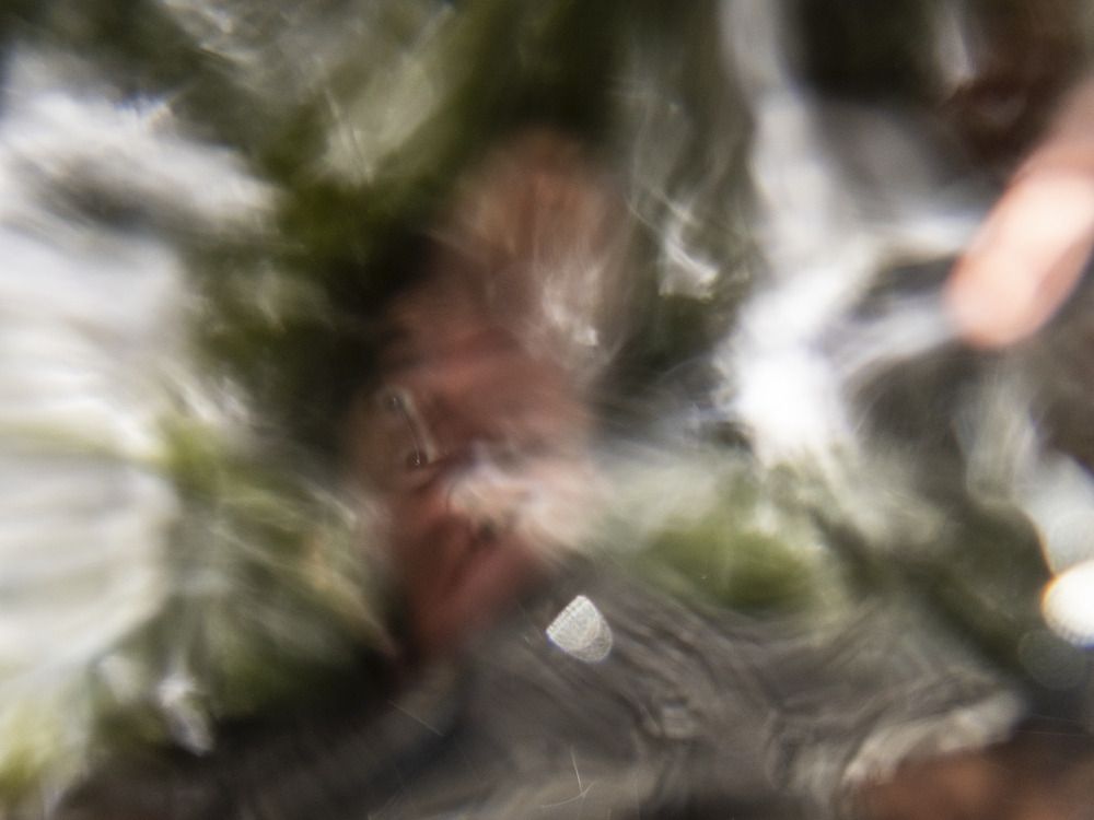
Self-Portrait in an Unnamed Stream.
 43°8'44.796" N 72°34'52.14" W, Grafton, VT.
 July 28, 2024.

Self-Portrait in an Unnamed Stream. 43°8'44.796" N 72°34'52.14" W, Grafton, VT. July 28, 2024.

Lake Sebago Beach, Closed Since Hurricanes Irene and Sandy.
 Harriman State Park, NY.
 August 21, 2021.

Lake Sebago Beach, Closed Since Hurricanes Irene and Sandy. Harriman State Park, NY. August 21, 2021.

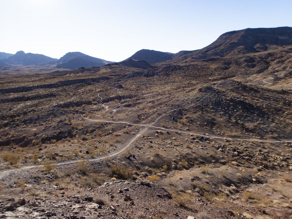
Looking South-West across the McCullough Range.
 35°59'21.66" N 115°0'13.92" W, Henderson, NV.
 December 1, 2024.

Looking South-West across the McCullough Range. 35°59'21.66" N 115°0'13.92" W, Henderson, NV. December 1, 2024.

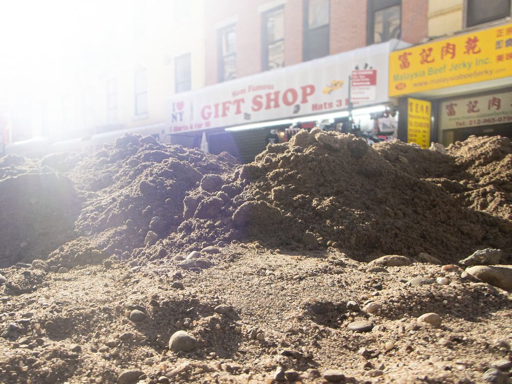
Mott Street.
 Manhattan, NY.
 October 28, 2024.

Mott Street. Manhattan, NY. October 28, 2024.

Looking South-East toward Tom Jones Shelter.
 Harriman State Park, NY.
 May 27, 2020.

Looking South-East toward Tom Jones Shelter. Harriman State Park, NY. May 27, 2020.

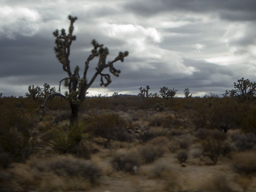
Yucca Grove from Interstate 15.
 35°23'41.976" N 115°49'34.638" W, Mojave National Preserve, CA.
 November 26, 2024.

Yucca Grove from Interstate 15. 35°23'41.976" N 115°49'34.638" W, Mojave National Preserve, CA. November 26, 2024.

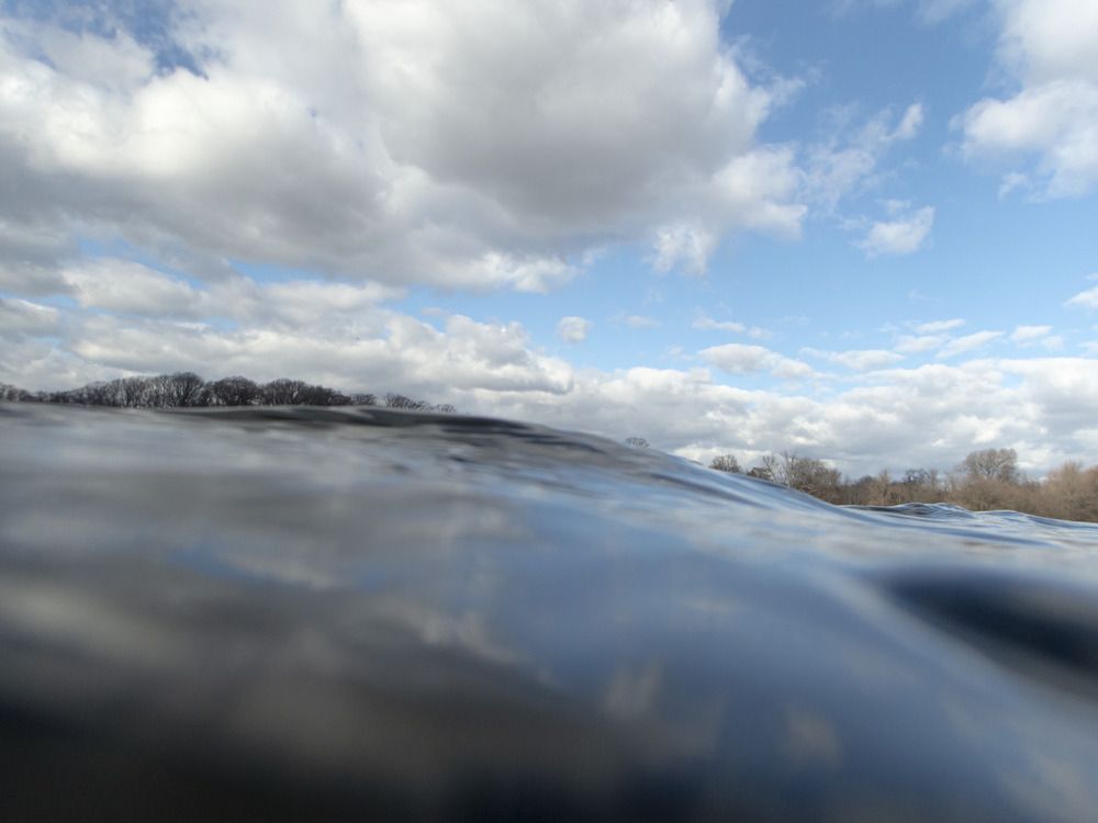
Looking North across Prospect Park Lake.
 40°39'13.608" N 73°58'9.312" W, Brooklyn, NY.
 January 2, 2025.

Looking North across Prospect Park Lake. 40°39'13.608" N 73°58'9.312" W, Brooklyn, NY. January 2, 2025.